Living in Cupertino
Most people who move to Cupertino come for two things, a job in tech and the public schools. The trade-off is some of the highest housing costs in the country and a town built around the car. Here is the plain version.
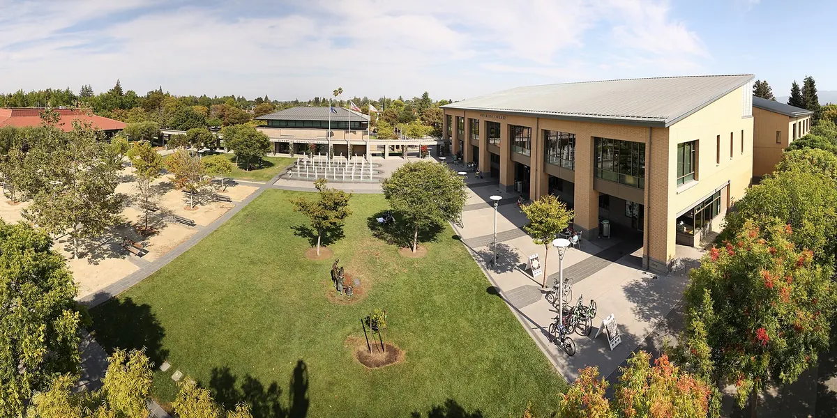
Cupertino in numbers
These figures come from the U.S. Census Bureau, from the 2020 Census and the American Community Survey 5-year estimates for 2020 to 2024.
| Measure | Figure |
|---|---|
| Population, 2020 Census | 60,381 |
| Population estimate, July 2025 | 58,333 |
| Land area | About 11.3 square miles |
| Median household income | $234,707 |
| Homes that are owner-occupied | 60.6% |
| Median home value | "$2,000,000+" (the top of the Census range) |
| Median gross rent | "$3,500+" (the top of the Census range) |
| Residents born outside the US | 55.0% |
| Adults 25+ with a bachelor's degree or higher | 82.2% |
| Average commute | 23.6 minutes |
Two things stand out. First, more than half of residents were born outside the United States. You can see it in the Asian supermarkets and restaurants, and in the Chinese, Hindi, Japanese and Korean language schools and programs the city lists. Second, the housing numbers have hit the top of the Census scale. The real medians are higher than the figures shown.
What daily life is like
- It's quiet. Cupertino is mostly single-family streets, apartment complexes and shopping centers. Evenings are calm. For nightlife, people go to San José, Santana Row or Mountain View's Castro Street.
- School is a big part of family life. Many families chose Cupertino for the public schools, and tutoring and enrichment centers are a visible part of the shopping centers. Our schools guide explains which district serves which address.
- You'll drive. There's no rail station in the city. Buses run on the main roads, and the bike network is growing, but most errands take a car. See getting around.
- The hills are close. Rancho San Antonio, Fremont Older and Stevens Creek County Park are 10 to 15 minutes from most homes.
- The weather is mild. Summers are dry and warm, and most rain falls between November and March.
Guides for newcomers
- Neighborhoods: the city's planning areas and how they differ
- Schools: which districts serve Cupertino and how enrollment works
- Cost of living and rent: what the numbers say and how to read them
- Getting around: buses, Caltrain connections, freeways and airports
- Moving to Cupertino checklist: utilities, DMV, schools and more
City services
For permits, trash, city recreation classes and council business, use the City of Cupertino's website, cupertino.gov. Water, sewer and garbage are run by outside companies under city contracts. The moving checklist lists them.
Guides for residents and newcomers
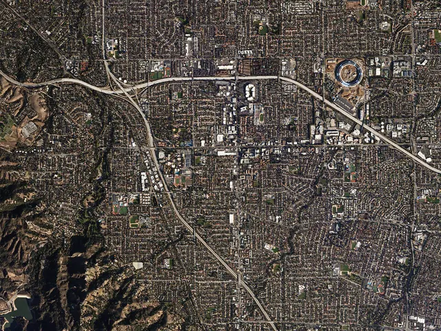 NeighborhoodsA plain guide to Cupertino's neighborhoods, from Monta Vista and Inspiration Heights by the foothills to Rancho Rinconada and Garden Gate, with what to check before you choose.
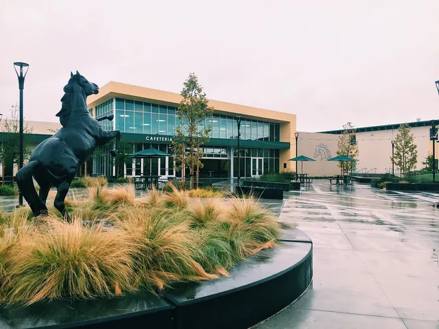 SchoolsWhich school districts serve Cupertino, which high schools serve which areas, how to look up your assigned school by address, and how open enrollment works. Facts from the districts themselves.
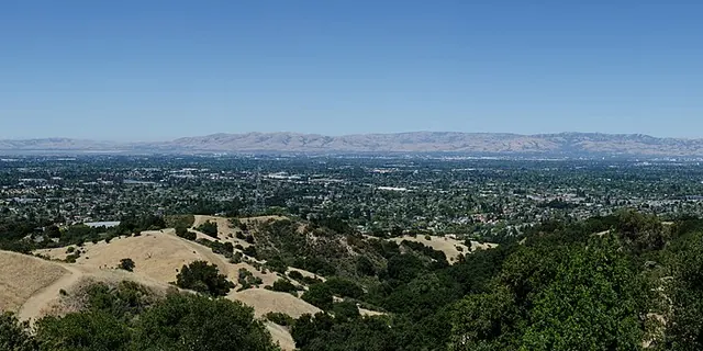 Cost of living and rentWhat it costs to live in Cupertino, using U.S. Census data with dates. Median rent, home values, incomes, utilities and taxes, and how to check current rents yourself.
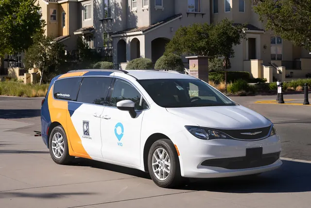 Getting aroundHow to get around Cupertino without guessing. VTA bus routes, the nearest Caltrain stations, freeways and rush hour, biking, and distances to the San José and San Francisco airports.
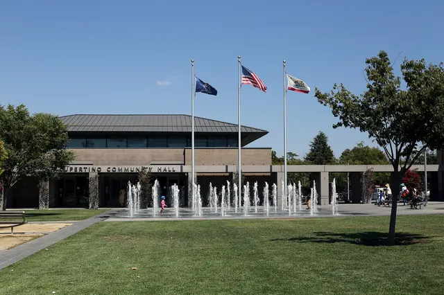 Moving checklistA practical moving checklist for Cupertino. Temporary housing, school enrollment, water, power and garbage providers, California DMV steps and settling in.
How we checked this page
We last checked the facts on this page on November 21, 2026 against the sources below. Hours, prices and rules change, so confirm anything important with the source before you go. Spot an error? Tell us and we will fix it.