Fremont Older Open Space Preserve and Hunters Point
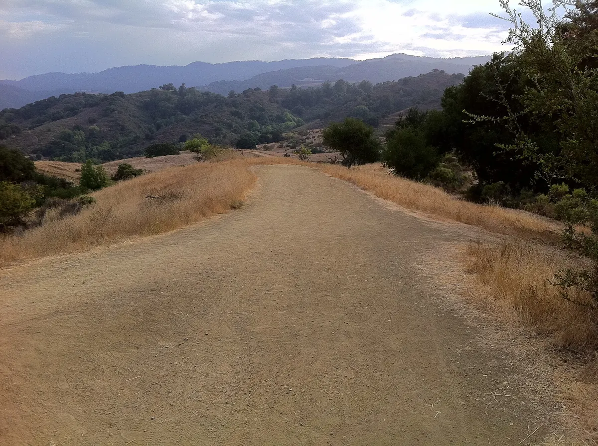
Fremont Older is the dog-friendly, less crowded alternative to Rancho San Antonio. The best-known walk is a 2.5-mile loop through hayfields and oak woods to Hunters Point, a bare hilltop with a view across Silicon Valley.
Why go
Rancho San Antonio gets the crowds. Fremont Older gets the people who know about it. The preserve covers about 739 acres of rolling grassland, oak woods and old orchard on the hills where Cupertino meets Saratoga. It has around 14 miles of trails. Most are open to hikers, cyclists and horses, and dogs on leash are welcome. The Midpeninsula Regional Open Space District (Midpen) runs it.
The Hunters Point loop
This is the walk most first-timers do. Midpen describes it as a 2.5-mile loop through open hayfields and oak trails.
- From the Prospect Road parking area, take the short uphill to the Cora Older Trail.
- Follow signs for Hunters Point, by way of the Seven Springs and Woodhills trails.
- At Hunters Point, at about 900 feet, there's a bench and a wide view over Cupertino, Saratoga and San Jose toward the hills on the far side of the valley.
- Come back down on the Hayfield Trail, which is sunny and open, back toward the lot.
On clear winter days after rain the view is at its sharpest. In late spring the grass turns gold, which is the color most photos of this place show.
Longer outings
- Maisie's Peak is a steeper option with a second viewpoint not far from Hunters Point.
- Down to Stevens Creek. Trails drop west into Stevens Creek County Park and the reservoir. Coming back up is a real climb.
- Regnart Road has two roadside parking spaces at another entrance, if you're coming from the Cupertino side.
Use the Midpen map for exact distances. Trail junctions are signed, but there are a lot of them.
Parking and directions
The main entrance is at the end of Prospect Road in Saratoga. From Highway 85, take the De Anza Boulevard exit, then follow Prospect Road west until it narrows and ends at the preserve lot. The lot has 21 spaces. When it's full, don't park on the narrow road or in driveways. Go to Stevens Creek County Park instead and walk in from there. The county charges a vehicle fee at that park.
Nearby
- Coffee and food: De Anza Boulevard and the Main Street Cupertino area are 10 minutes away.
- More hiking: Rancho San Antonio for a longer climb, Picchetti Ranch for a short walk followed by a glass of wine.
Plan your trip
Common questions
How hard is the Hunters Point hike?
It's easy to moderate. The loop is about 2.5 miles with one steady climb. Most people take an hour to an hour and a half.
Who was Fremont Older?
He was a well-known San Francisco newspaper editor, at the Bulletin and later the Call. He and his wife, the writer and historian Cora Older, bought land here in 1912 and built a house called Woodhills in 1913 and 1914. The house still stands in the preserve and is listed on the National Register of Historic Places. The Cora Older Trail is named for her.
Can I ride a mountain bike here?
Yes, on designated trails, and helmets are required. Check the Midpen map, since trail rules can change.
How we checked this page
We last checked the facts on this page on November 21, 2026 against the sources below. Hours, prices and rules change, so confirm anything important with the source before you go. Spot an error? Tell us and we will fix it.